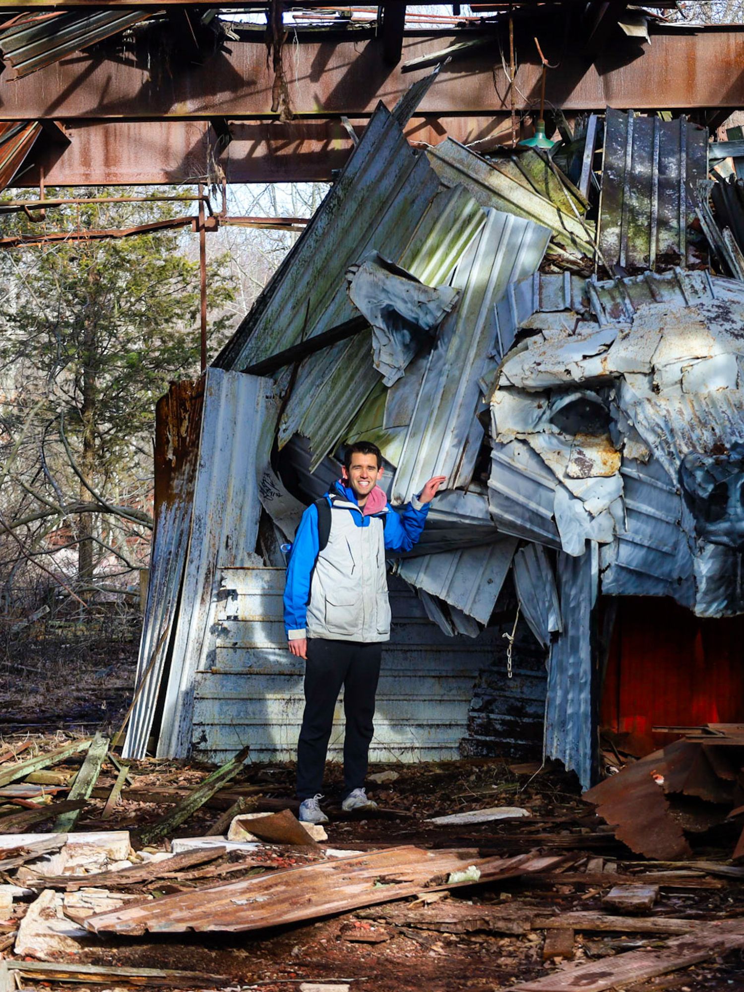
About This Location
The abandoned Norfolk Airport, once known as the Henan-Menon Memorial Airport, is a place steeped in history and shrouded in an eerie veil of mystery, situated in Norfolk, Massachusetts. Established in the mid-20th century, the airport was initially a bustling hub for aviation enthusiasts, but now it lies in quiet abandonment, offering a unique and somewhat haunting exploration site.
The land for the airport was purchased in the early 1940s by Robert & Elza Fleischer, marking the beginning of its aviation legacy. The airport officially came into existence between 1945-46, as indicated by its absence from the 1945 AAF Airfield Directory and its first appearance on the July 1946 Boston Sectional Chart. An aerial view from August 1946 shows its modest beginnings with two grass runways and a small hangar, a snapshot of an era long passed.
Throughout the years, Norfolk Airport experienced various phases of operation and closure. Its status fluctuated, evident in its absence on the 1954 Boston Sectional Chart and reemergence in 1960 as a private airfield. By the mid-1960s, it had transformed into a public-use airport, a role it maintained for some time. The airport boasted a 2,700' paved runway, catering to a variety of aviation activities, from light aircraft operations to soaring adventures with the MIT Soaring Association starting in 1968.
The airport's vibrant period continued through the 1970s under the ownership of John & Joseph Menfi, decorated Vietnam War veterans. They ran a Fixed Base Operation with a Cessna-approved flight school, Norfolk Aviation, and a maintenance facility. The airport was a hive of activity, with flight schools, maintenance facilities like Superior Aero, and clubs like the MIT flying club and the glider club.
However, the bustling activity gradually waned. By the early 1980s, Norfolk Aviation ceased operations, leaving only Superior Aero. The 1980s saw the introduction of Aviation East training school, but the airport's decline was irreversible. An aerial view from 1978 captured the airport in its twilight years, crowded with light aircraft but nearing the end of its active life.
The closure of Norfolk Airport between 1995-2000 marked the end of an era. Plans to reopen it as a residential airpark in Massachusetts materialized but did not come to fruition. The early 2000s saw the gradual dismantling of the airport's infrastructure, with hangars and buildings being removed, and nature reclaiming the land.
Today, the remnants of the Norfolk Airport serve as a public recreational area. The main runway, though cracked and worn, still bears the unmistakable signs of its former purpose, with fading runway lines and numbers visible at both ends. At the southern end of the runway is a large "36" and at the northern end of the runway is a huge "18." Both these numbers are painted in white and can still just barely be seen. This space, now a mix of a private land trust and the Charles River Valley Storage area, is a popular spot for local residents for walking, biking, and enjoying nature.
Yet, the abandoned airport is not without its dark tales. The tragic death of Taylor Meyer in 2008, a high school senior who drowned in a swamp near the airport following an underage drinking party at the abandoned airport, casts a somber shadow over the area. This tragedy added to the site's haunting ambiance, making it a poignant reminder of the fleeting nature of life.
Visitors to the old Norfolk Airport can park at two lots along its southern end, on Miller Street and Leland Road, free of charge. While the airport's days of buzzing with planes are long gone, its runways and open fields now offer a quiet place for reflection and exploration, amidst the whispers of its vibrant past and the silent stories of those who once walked its grounds.


.jpg)
.jpg)


.JPG)
.jpg)